Impact Factor
Call For Paper
Volume 12 Issue 07
July 2026
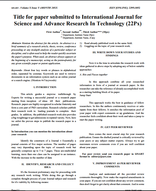
Download Paper Format
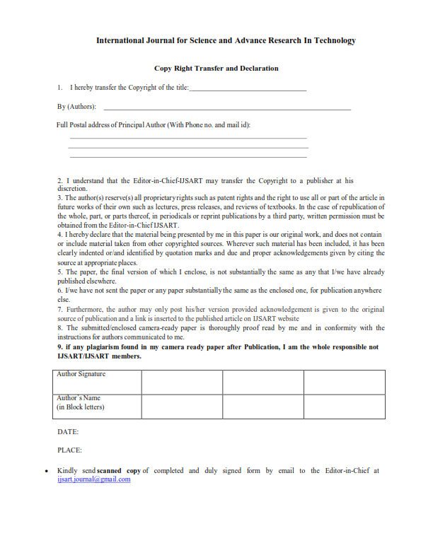
Copyright Form

Author(s)
Abstract
Crop Yield Estimation Plays A Major Role In Agricultural Planning And Food Security. Traditional Methods Of Crop Yield Estimation Are Time-consuming And Require Extensive Field Surveys. This Study Focuses On Estimating Rice Crop Yield Using Sentinel-1 Synthetic Aperture Radar (SAR) Data Integrated With Land Use/Land Cover (LULC) And Climate Parameters In Orathanadu Taluk, Thanjavur District. Sentinel-1 SAR Data Provides VV And VH Polarization Backscatter Values That Help Analyze Crop Growth And Moisture Conditions. The Collected SAR Data Was Preprocessed Using Radiometric Calibration, Speckle Filtering, Terrain Correction, And Decibel Conversion. Climate Parameters Such As Rainfall, Temperature, And Humidity Were Integrated With SAR Features. A Random Forest Regression Model Was Developed Using Google Colab To Predict Crop Yield. The Model Performance Was Evaluated Using R² And RMSE Values. The Obtained Results Showed High Prediction Accuracy With An R² Value Of 0.9502 And RMSE Value Of 11.24 Kg/ha. Spatial Crop Yield Mapping Was Performed Using GIS Techniques To Identify High And Low Yield Zones. The Study Demonstrates That Integrating Remote Sensing Data With Machine Learning Provides An Efficient And Reliable Method For Crop Yield Estimation.
Keywords
Paper ID
IJSARTV12I5105283
Publication Date
May 6, 2026
Research Area
Agricultural Engineering