Impact Factor
7.883
Call For Paper
Volume 12 Issue 09
September 2026
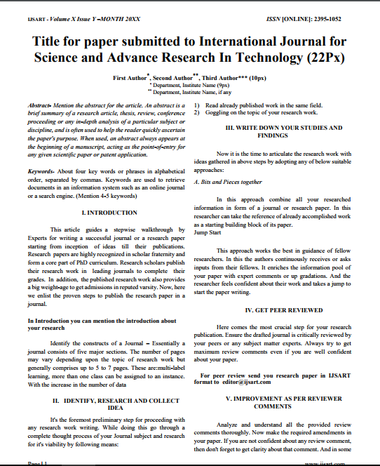
Download Paper Format
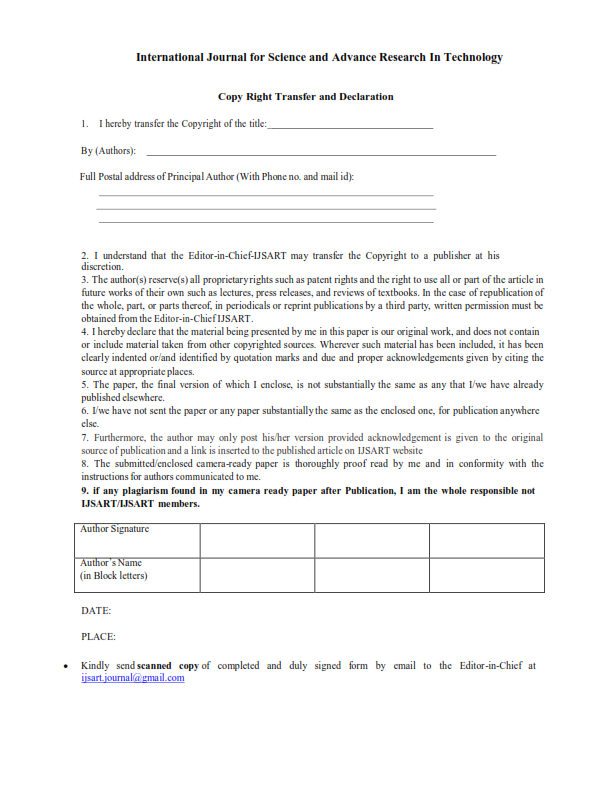
Copyright Form

Author(s)
Kavyashree M P H. Ramesh Renuka Prasad M.S Bhavya P.
Abstract
Wetlands Are The Transitional Land That Lies Between The Water And Dry Ground. Wetlands Have Great Importance For More Than One Reason, Most Notably Because They Charge Aquifers, Conserve Moisture, Act As Pollution Filters, And Are Habitat For Biodiversit
Keywords
Geomorphology
Landuse/land Cover
Lineament And Its Density
Groundwater Potential Zones Map.
Paper ID
IJSARTV3I615695
Publication Date
June 15, 2017
Research Area
Civil Engineering