Impact Factor
7.883
Call For Paper
Volume 12 Issue 09
September 2026
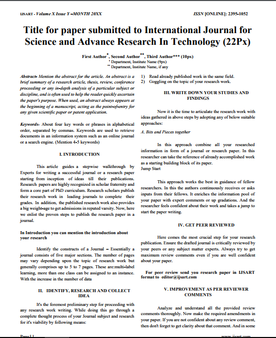
Download Paper Format
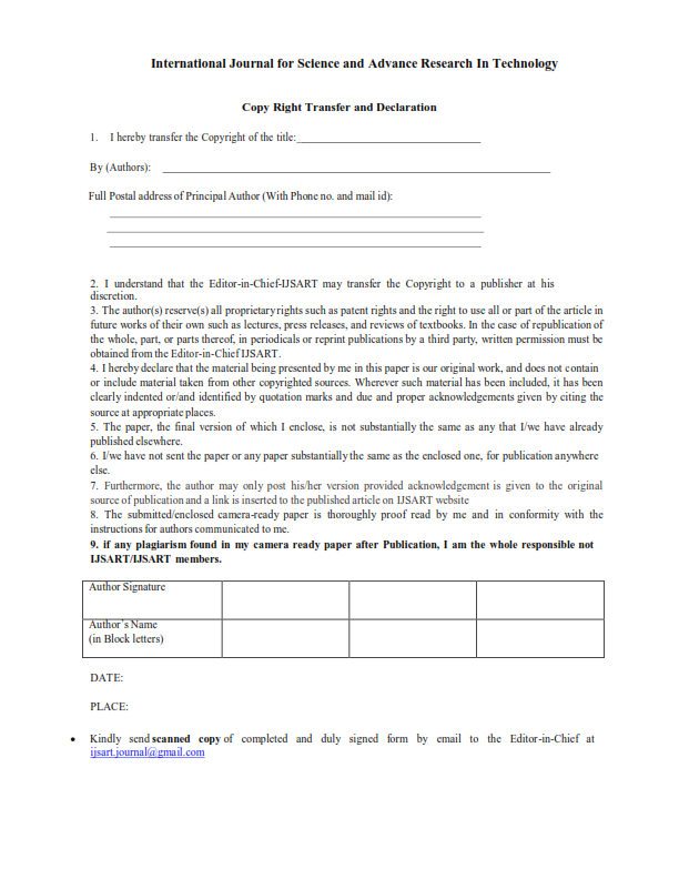
Copyright Form

Author(s)
Nanjundi P Dr.M.Inayathulla Dr. T.M .Mohan kumar Chalapathi K. | Nagesh Hanche
Abstract
Remote Sensing And Geographic Information System (GIS) Has Proven As Most Effective Tool In Mapping And Modelling Of Terrain Features In The Study. The Context An Attempt Has Been Made To Find Area Comprises Of Gneissic Rock Of Olden Age. Thematic Layers
Keywords
GIS
Erosivity
Land Use And Land Cover
Watersheds.
Paper ID
IJSARTV4I1228093
Publication Date
December 18, 2018
Research Area
Civil Engineering