Impact Factor
7.883
Call For Paper
Volume 12 Issue 09
September 2026
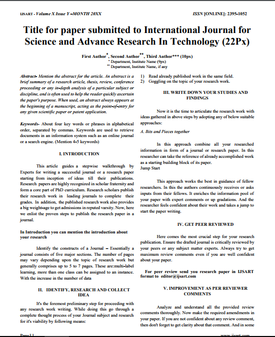
Download Paper Format
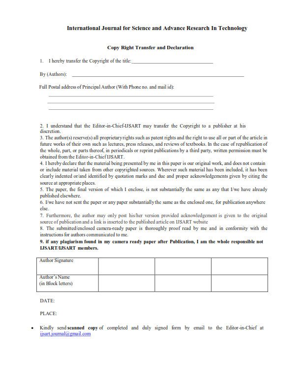
Copyright Form

Author(s)
Debabrata Nandi Pramod Chandra Sahu Shreerup Goswami
Abstract
Bijatala Block Of Mayurbhanj District Of Odisha Is Covered By Hard Crystalline Rock Of Pre-Cambrian Age. Granite Is The Most Dominate Litho Unit. The Present Work Deals With Identification Of Groundwater Potential Areas Using RS And GIS Techniques For Sus
Keywords
Potential
Geomorphology
Lineament
Remote Sensing
Paper ID
IJSARTV3I1219425
Publication Date
December 31, 2017
Research Area
Remote Sensing Application In Ground Water