Impact Factor
7.883
Call For Paper
Volume 12 Issue 09
September 2026
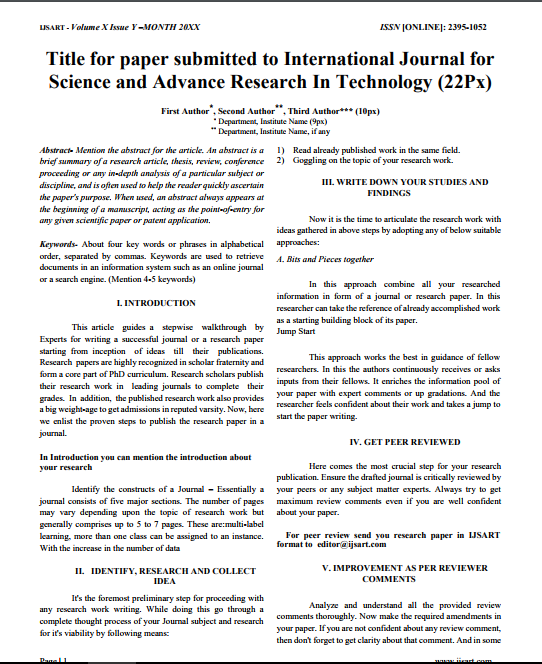
Download Paper Format
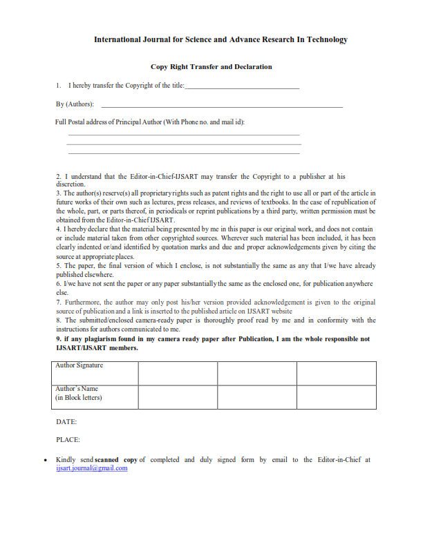
Copyright Form

Author(s)
G. Arulselvi Kalaiarasan K
Abstract
Information About The Location And Area Of Crop Has Significant Economic And Environmental Applications. Remote Sensing Techniques Have Been Developed To Allow Researchers To Accurately Classify Large Vegetation Area At Reduced Cost. One Of The Most Impor
Keywords
Multispectral Satellite Image
Clustering
Bat Algorithm.
Paper ID
IJSARTV3I38447
Publication Date
March 6, 2017
Research Area
Computer Science